Upland CA Neighborhood Guide to Foothill Living
February 19, 2026
February 19, 2026
What does a typical Tuesday look like when the mountains sit just beyond your street? In Upland’s foothill neighborhoods, you feel close to nature, close to downtown, and connected to simple routines that make life flow. If you’re weighing a move, you want a clear picture of daily rhythms, not just a map. This guide walks you through parks and trails, local eats, commute options, and community events so you can decide if the foothills fit your lifestyle. Let’s dive in.
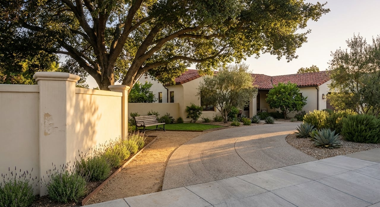
Upland sits along the southern edge of the San Gabriel Mountains, organized around Euclid Avenue and Foothill Boulevard, also known as Route 66. North of Foothill, you move into the rising terrain many locals call the foothills, with streets that angle toward the mountain views. Euclid’s green median and historic bridle path give the area a signature look and an easy place to walk or jog. For context and history, the city profile offers a helpful primer on geography and landmarks in the area including Euclid’s bridle path.
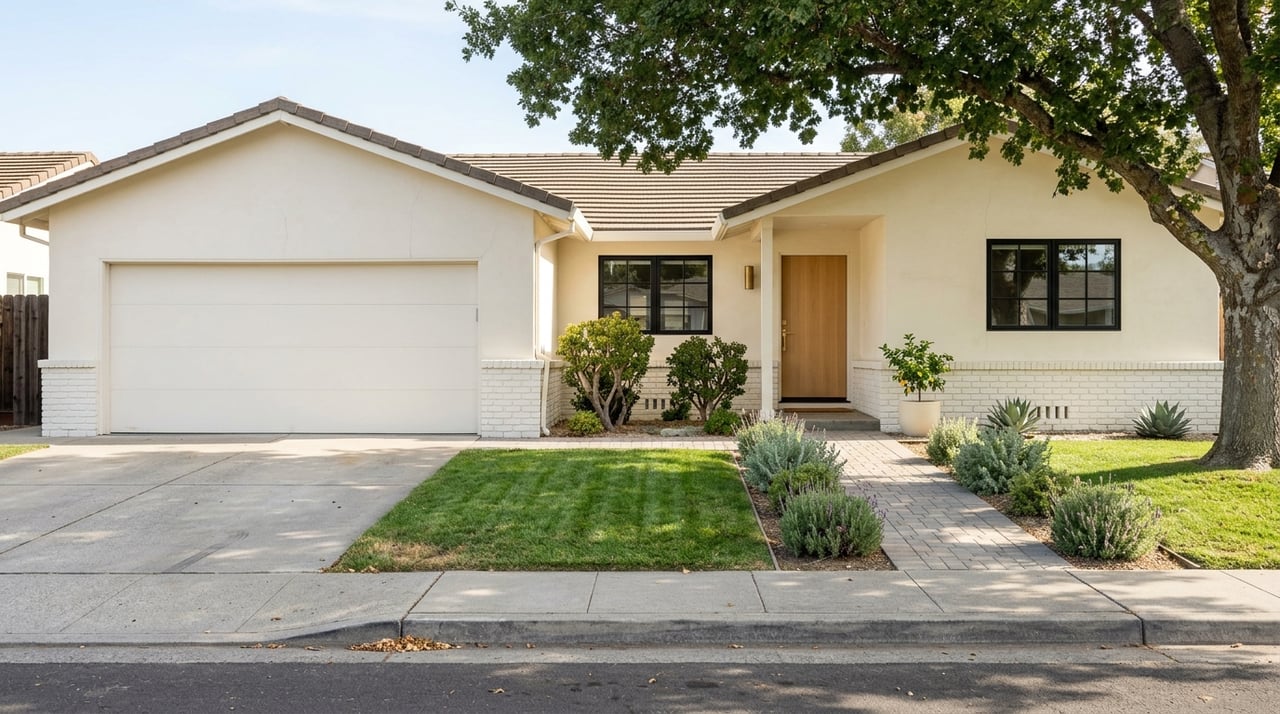
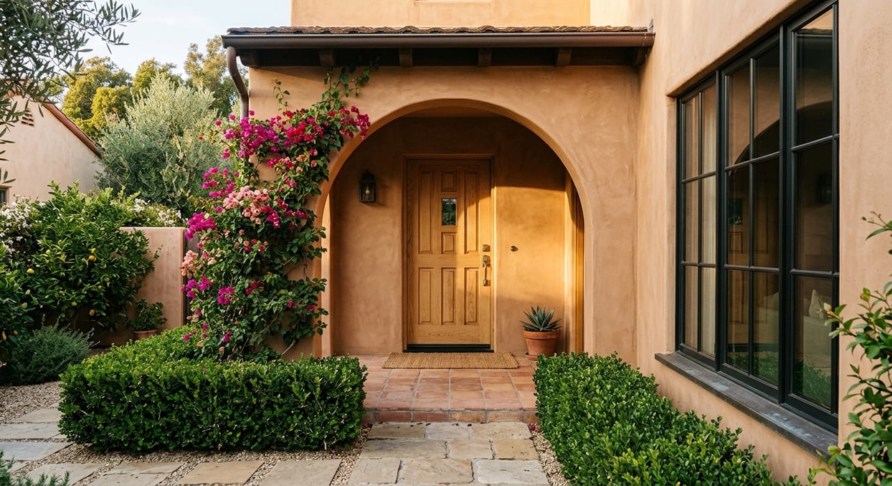
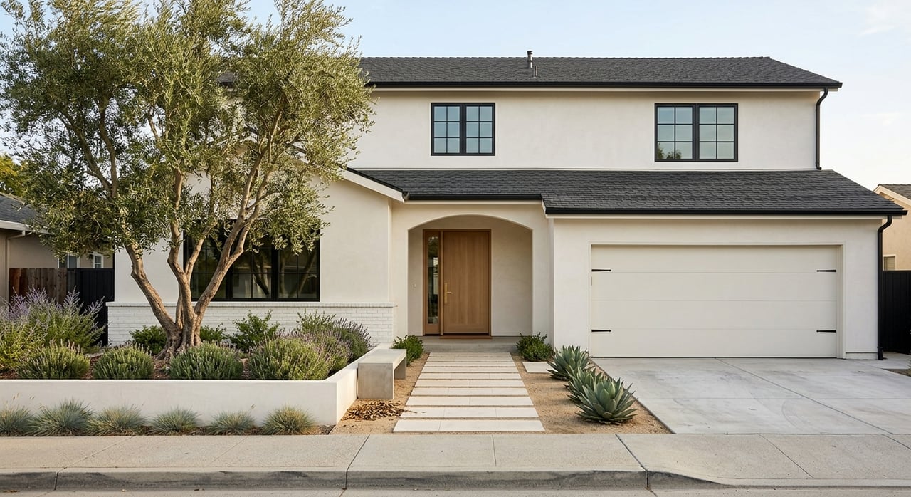
You’ll also hear neighbors mention San Antonio Heights just uphill, an adjacent unincorporated community that reinforces the mountain-close feel. Across the foothill blocks you’ll find a mix of older character homes and mid-century ranch styles alongside newer infill. The result is a neighborhood fabric that feels established yet active, with daily routines centered on nearby parks, trails, and a walkable downtown.
Picture a relaxed morning: you grab coffee and a pastry in Historic Downtown, then stroll a few blocks as the sun lights up the mountain ridge. Many locals split time between downtown’s independent shops and short-drive errands to larger retail in nearby Rancho Cucamonga and Ontario. Afternoons often include kids’ sports at Cabrillo or McCarthy Park, or a quick dog outing at Baldy View Park’s multi-acre dog area.
Evenings are simple and social. You might catch a neighbor for a quick bite or a local brew in the historic district, where small venues and occasional live music set an easy vibe. The downtown business district maps out the core cafés, bakeries, and independent restaurants many residents frequent throughout the week. You can browse that walkable cluster on the Historic Downtown Upland site.
Living in the foothills puts outdoor time into your daily routine. A few local favorites stand out:
If you want bigger adventure, Mount Baldy sits a short drive away, with seasonal snow play and panoramic day hikes. Do keep an eye on parking rules and seasonal restrictions when planning high-use trail days.
Most residents drive to work, with main corridors including I-10, CA-210, and Foothill Boulevard. City-level data puts average travel time around 30 to 31 minutes, which helps you frame a typical weekday rhythm without promising exact times. You can explore the latest commute snapshot on DataUSA’s Upland profile.
Prefer rail to the freeway? The Metrolink San Bernardino Line serves Upland Station near downtown, offering direct access to both Los Angeles and San Bernardino. Many locals pair a Saturday train ride with a stroll through the farmers market and downtown shops.
Upland’s weekly and annual calendar gives you easy ways to plug in.
City recreation programming also fills the calendar with seasonal activities, from holiday events to youth classes, often hosted at parks and the Magnolia Recreation Center.
Public schools in the area are served by Upland Unified School District. For a current look at high school options within the district, visit the UUSD high schools page. You will also find community anchors like the Cooper Regional History Museum and the Grove Theatre in the historic core, plus regional healthcare through San Antonio Regional Hospital and nearby medical groups.
Ready to explore homes that match this lifestyle? Let’s talk about your timing, prep, and goals. Schedule your next step with Lisa Warshaw Sheasby for a Free Concierge Consultation tailored to your move.
From start to finish, Lisa brings personalized service, powerful advocacy, and proven systems to help you reach your real estate goals.